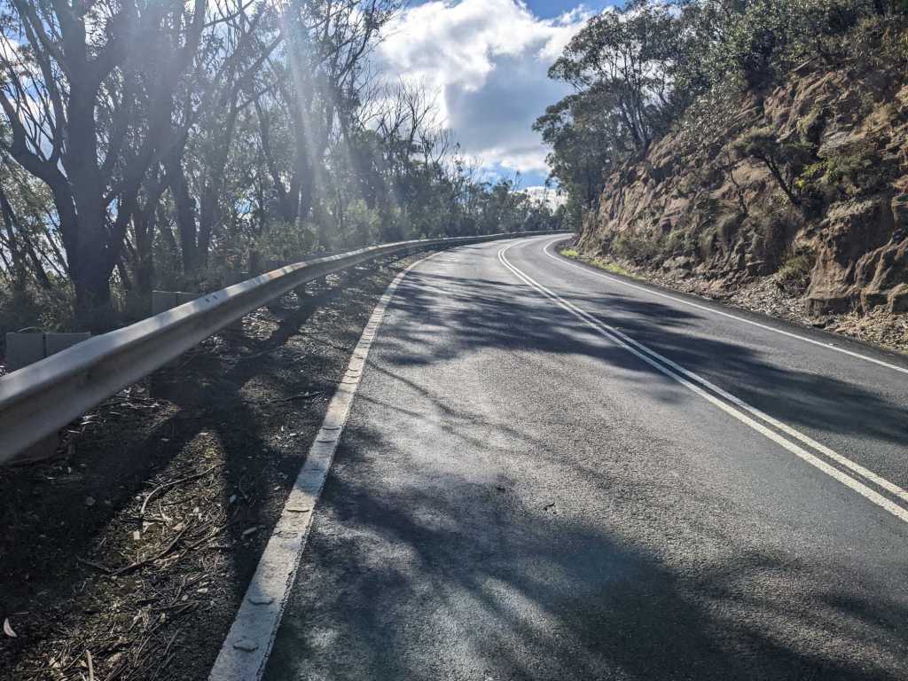
When I rode out of Lithgow, there was a steep climb, bringing me up a few hundred metres higher into the mountains. Despite the cold I’d soon removed my jacket as I warmed up from cycling.
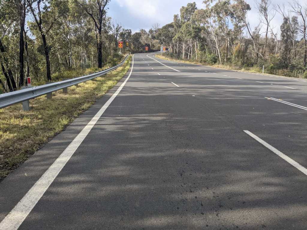


The morning was spent riding up and down through the mountains. This was a secondary road, but was still uncomfortably busy, as the shoulder was only inconsistently present.
Around midday I began a slow descent, bringing me pretty much all the way down to sea level. I approached Sydney, passing firstly through outlying villages and then into the suburbs.
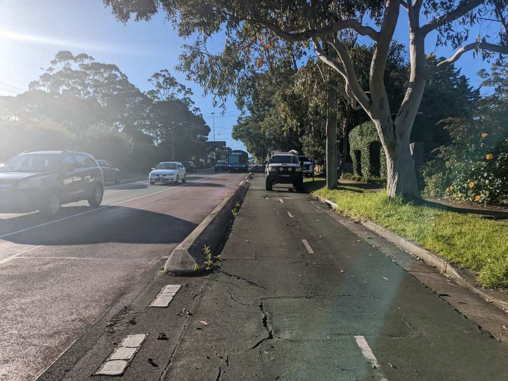
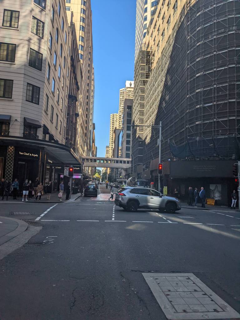
I did not enjoy cycling through Sydney. There was rarely a cycle lane or shoulder. If there was provision for cyclists it was usually a segregated path going in both directions on one side of the road. Since I was frequently turning onto different roads using those would have meant constantly stopping and long waits to cross the roads. This area was called “the hills” which made it pretty slow going.
It was dark by the time I made it to a campsite. I’d booked online, and made my way to my assigned spot and set up camp.
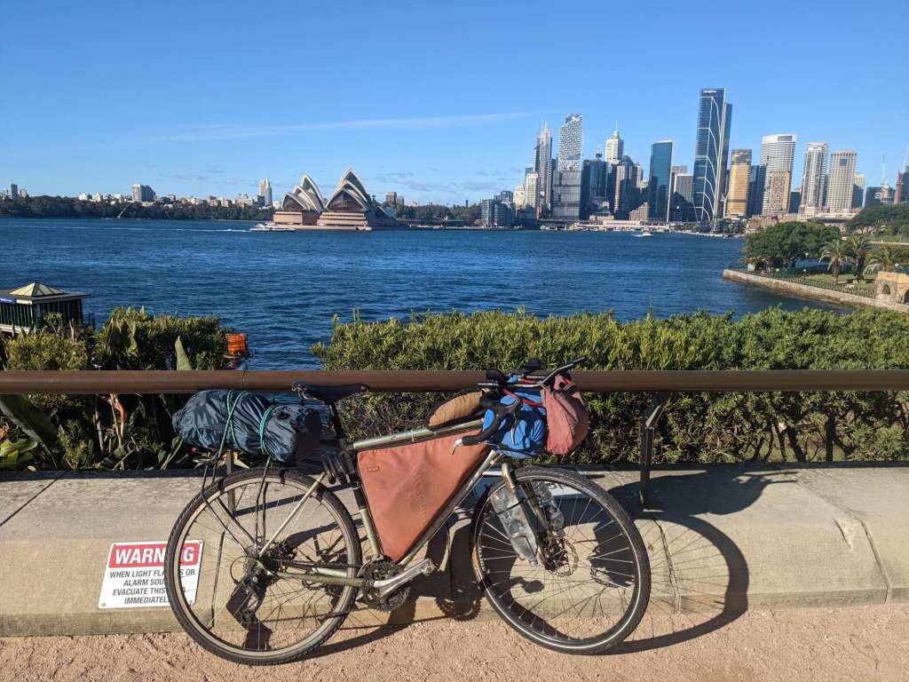
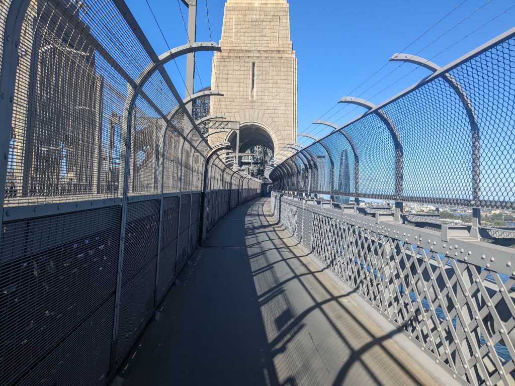
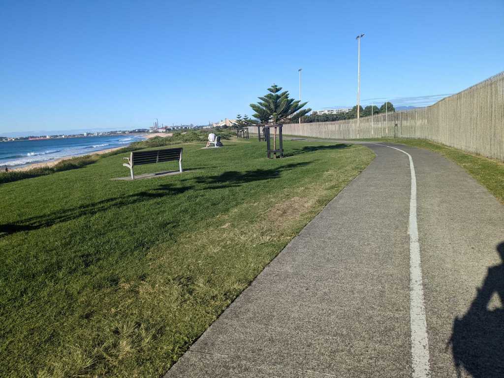
In the morning I continued my ride into the city centre, reaching the river. On the far side I could see the Opera House.

The city centre had more bike paths and pedestrianized areas. From there I made my way to the coast and started following a coastal bike path. As I made my way along I was passed by another cyclist who slowed to chat.
This was Dave. We chatted as we rode together for the next hour or so. He led me out of the city which made things a lot easier than constantly staring at my map. Dave’s been on several cycle tours in Australia. He taught me several interesting things about the local history.

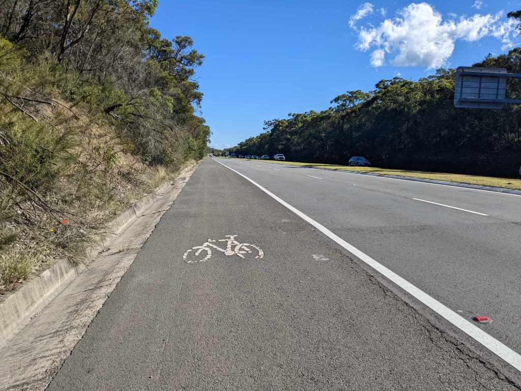
I said goodbye to Dave as I headed onto the highway at the city’s edge. This road often had a shoulder. It was technically a motorway but cyclists were allowed.
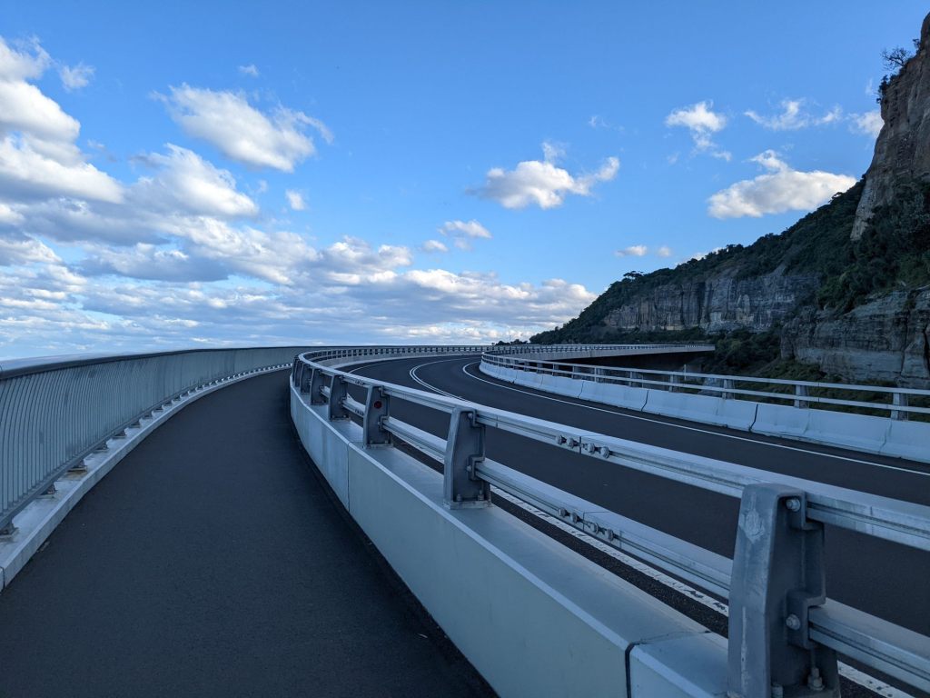
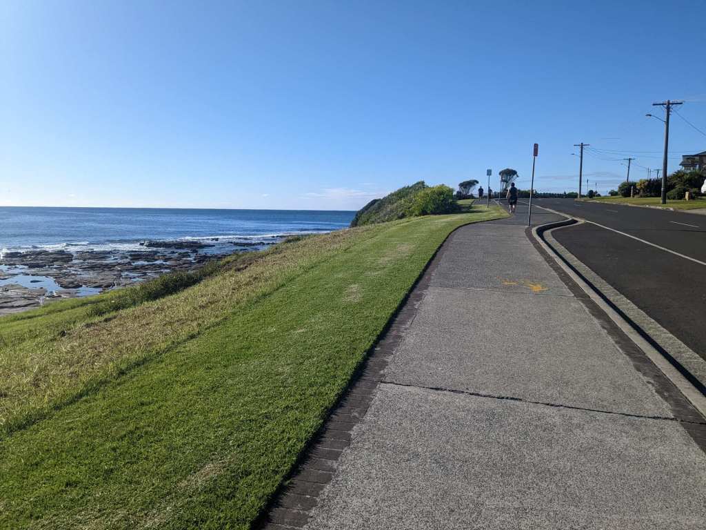
After a while there was a sign stating cyclists were forbidden from continuing on the motorway. Fortunately, that was where I’d been planning to leave it anyway. I rode down to the coast where there was a somewhat unusual road. It was explained to me thus: originally, the road was on land. But rocks kept falling on it, so they built it over the sea instead.
I followed the coastal road for the rest of the day, stopping at a campsite in the evening. This was my third day in a row paying for accommodation! It was a very windy night. The wind was blowing against the weakest side of my tent, buckling it. I kept trying to adjust the pegs and fit a new guy line to stop it buckling. For some reason it took me an absurdly long time to realize that the obvious solution was just to turn the tent 90°.
The following morning I continued to follow the coast on a mixture of roads and bike paths.

In the afternoon I left the coast behind, following a small road up into the hills. It was initially busy until I reached a military base, seemingly the destination for most of the traffic. After that I had the quiet road I’d been hoping for. In the evening, I set up camp in the woods.
During the first half of the day, I considered my route. I had to be in Melbourne for the 15th, when I had an interview for my US visa application. Most Western tourists can get an online visa waiver – but having been to Sudan, I’m not eligible. Sudan was designated a “state sponsor of terrorism.” Although that designation was removed, visiting there still exempts people from the visa waiver.
I probably wouldn’t have time to follow the route I intended and still make it to Melbourne on the 15th, so I looked into a few shortcuts. Then, in the afternoon, I received a text telling me there’d been a change in the status of my visa application, and to check my email. The email said my appointment had been rescheduled, and to check the website for details. It took a bit of searching to find the website, which stated my appointment had been moved to the 2nd of June. Well, now I had the opposite problem of trying to fill an extra two weeks in Australia.
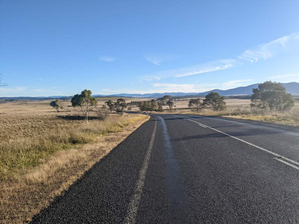
I continued on, passing through the town of Braidwood and stocking up on water. Past the town, the terrain was mostly farmland for some time. After a while I reached some wooded hills and managed to squeeze through the fence and set up camp.
It was a cold night, and still cold when I set off. For the first half hour I was constantly flexing my fingers to try and keep them warm. There were some clouds in the sky, obscuring the sun, so it took longer than usual for the air to grow warmer.
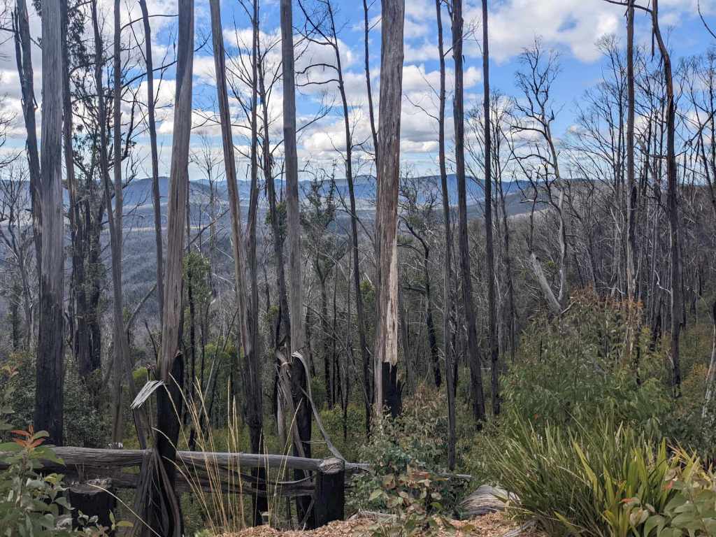
After an hour or so on tarmac, on low rolling hills following the course of a river, the road turned to dirt. A little later, I began to climb into the mountains.

I saw various animals here, though sadly the vast majority were dead. There were kangaroos, foxes and wombats. Of the wombats, I saw only roadkill.
The mountain pass was at an elevation of about 1200m. Several hundred metres above the surrounding area, it was a good viewpoint.
After the pass I descended gradually before the road gave way to rolling hills. An hour or so before I reached the town of Cooma, it began to rain, lightly and intermittently. I stopped at a campsite. The forecast for the next day was rain with the temperature peaking at 4°C, so I’d decided to take a day off.
The forecast was correct – although, at times, it snowed instead of rained. I spent the day trying to leave the tent as little as possible to remain warm and dry.

May 2: 134 km
May 3: 102 km
May 4: 117 km
May 5: 120 km
May 6: 107 km
