My first morning on the Cassiar Highway, the sky was hazy with smoke. The trees were empty of leaves and branches, and coloured grey. Forest fires were very much in evidence!

Within an hour of setting off I met an Australian couple who reassured me that they’d only started seeing this sort of smoke in the last hour or so. Unfortunately they also told me that the road, which at that point was smooth tarmac, would soon revert to bumpy chipseal.
Over the next week I made my way south along the Cassiar Highway. It is a fairly remote road – I typically passed a village only once a day or so. Midway along there was a decent sized supermarket in the village of Dease Lake. I had all the food I needed so I just picked up some apples. Not long after, it began to rain, and I moved the apples onto my rear rack to make room in my frame bag for my solar panel. The apples sadly fell off at some point. (Sadly for me, maybe not for the apples. Well, maybe for the apples too, I don’t know.)
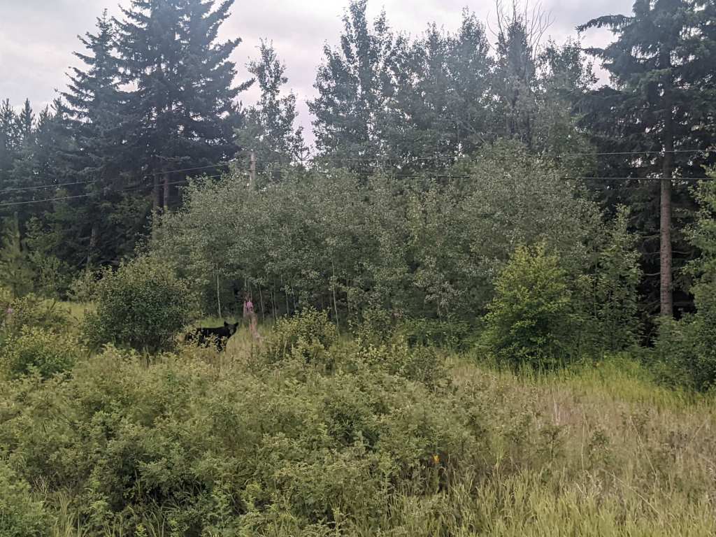
I saw quite a few cyclists, and a few bears. On one occasion I met a cyclist just a couple kilometres after passing a bear, so I warned him that it was there. He said he hadn’t seen any bears around – but a kilometre later I saw another bear, blocking a bridge. I waited for a car to come by, which scared the bear away.
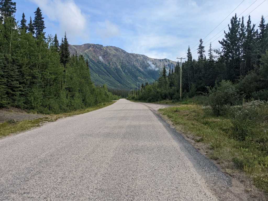
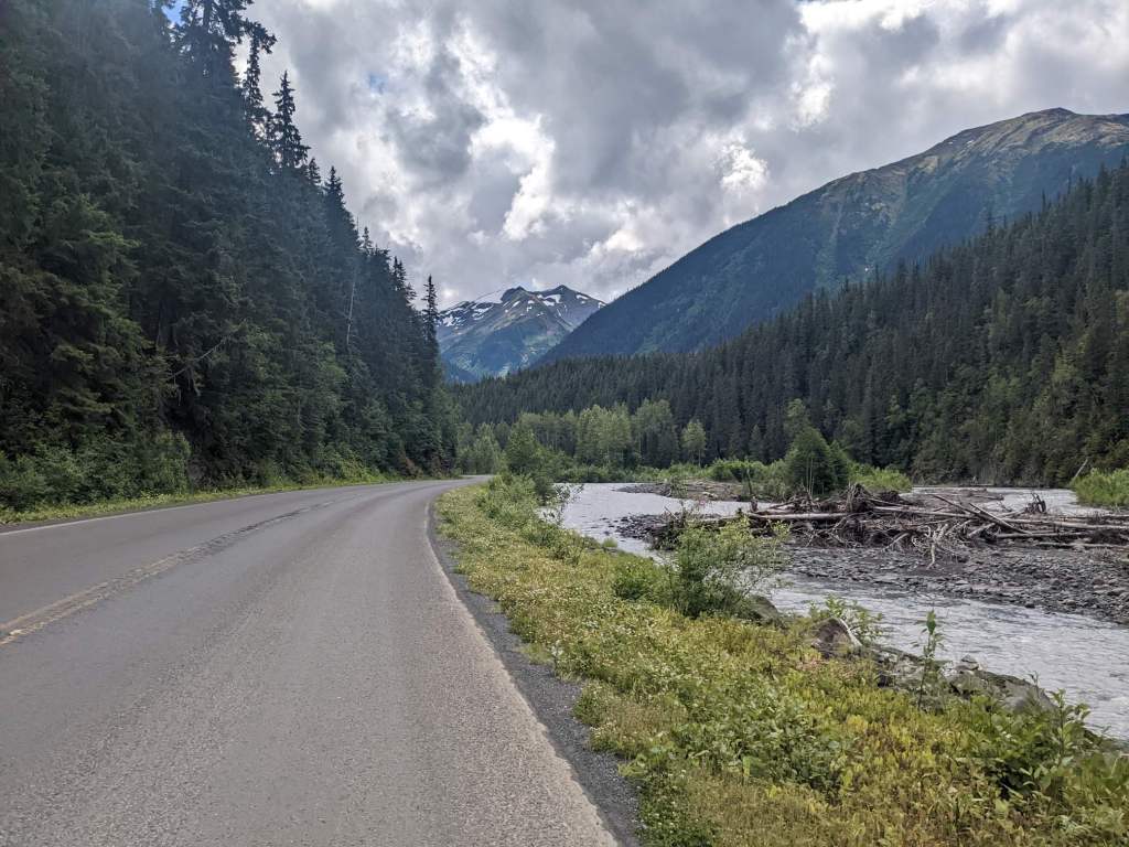
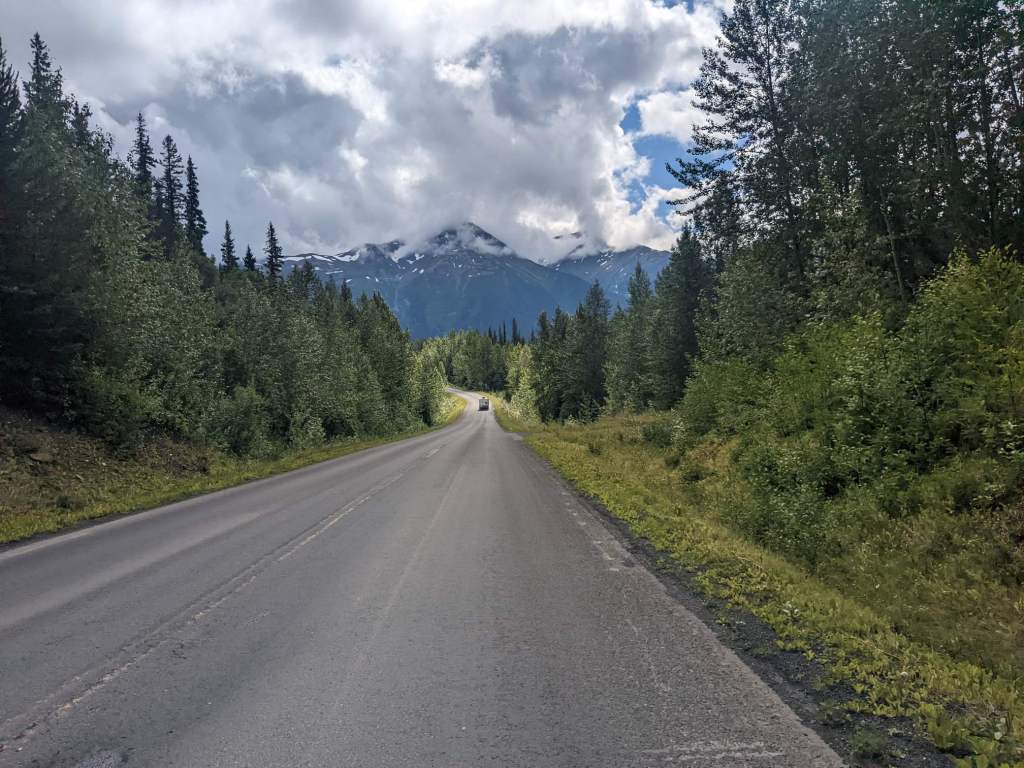
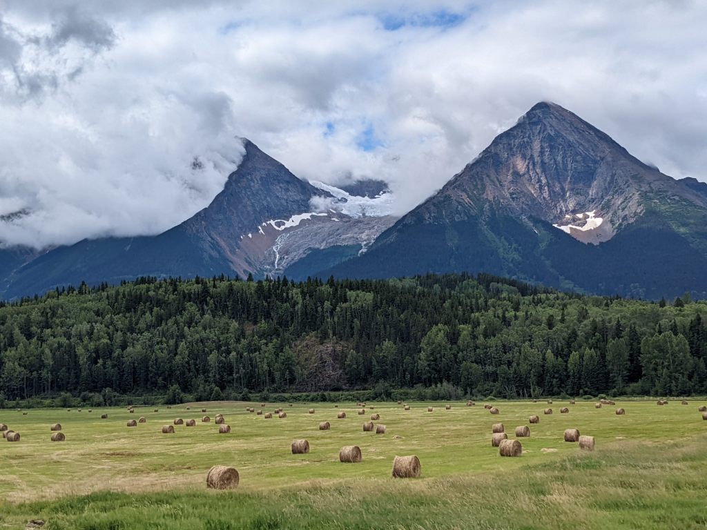
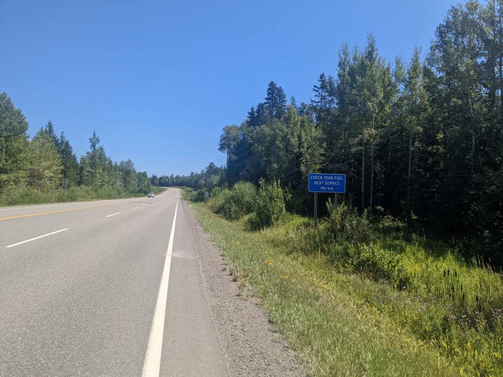
The Cassiar Highway was very scenic but also pretty uneventful. Therefore I’ll just leave some pictures here.


After a few hundred kilometres I reached the end of the Cassiar and joined the Yellowhead highway. There were lots of signs around warning against hitchhiking – this stretch of road is known as the “Highway of Tears,” due to a high number of (mostly indigenous) women being abducted and killed here.
I wasn’t planning on hitchhiking anyway; I continued cycling as usual. Well, apart from the fact that I’d decided to have a half-day and stop early at a campground. I arrived at Witset campsite in the early afternoon and found a sign stating that the owner had gone out until evening, and to just pitch up anywhere. There was a woman nearby and I asked if she knew the wifi password. It turned out she was the owner, just on her way out. I said I’d come by the office to pay later but she said I could said I could stay for free! That was very kind of her. Laundry and showers were free too so I doubtless smelled much better when I left the next morning.
A few hours away from the campsite was the town of Smithers. On the way there I passed a viewpoint for a glacier, but it was mostly obscured by clouds.
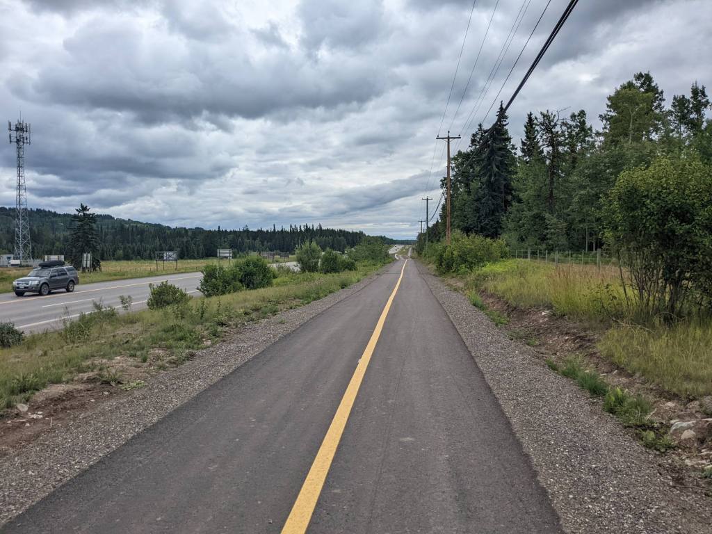
There was a supermarket in Smithers where I stocked up on food for the first time in about ten days. Suitably laden I continued on, riding for a few kilometres on a bike path.

That evening I camped at a free campsite beside Rose Lake. There was a shelter provided and I think it may have been treated with some sort of insect repellent – there were clouds of them nearby but none came over to me.

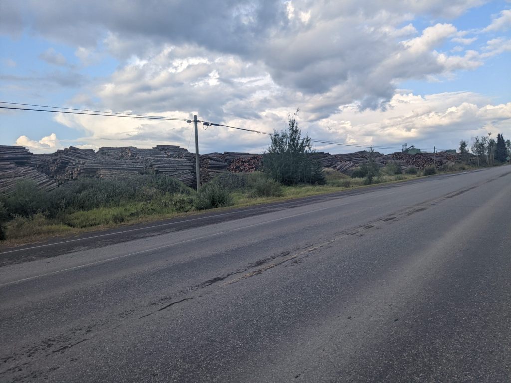
The next day the road had an unusually poor quality shoulder; unfortunately this was combined with rain and a high volume of trucks which left me little choice but to use the shoulder regardless. I let a significant amount of air out of my tyres to absorb the bumps. In the evening I passed a town with the biggest lumberyard I’ve ever seen – so that’s where the trucks were going!
The following day I reached Prince George, a fairly large city where I’d booked a hotel room for a day off – my first time sleeping in a private room for almost a month. While I was there I was visited by Lucas, another cycle tourist that I’d met on the Dalton Highway and kept in touch with since. He was going a different direction from here, though, so we didn’t ride together.
I made the most out of the hotel breakfast and lazed around until checkout time. Eventually I set off and cycled out of Prince George. Most of the traffic had gone south, whereas I continued east. The road was much, much quieter now.
In the evening I was caught in a thunderstorm. I was only in it for a couple of kilometres before reaching a rest area but I was pretty thoroughly soaked. I waited in the restrooms until it stopped then set up camp near a picnic bench. I realised that my tyre had gone flat. The puncture was in the same place that a sharp stone had pierced the tyre weeks earlier on the Dalton.
A few hours into my ride the next day I got another puncture, in the same place. As the tyre wears, the hole in it was growing. I swapped this tyre to the front where there would be less weight on it.
After a couple more days on the Yellowhead highway I began to approach the Rocky mountains. I climbed up a little before setting up camp not far away from the provincial border with Alberta. The place I camped was pretty much directly north of Los Angeles. That means I have now been at every possible longitude at some point on this journey. Maybe I can now say I’ve cycled around the world?


July 21: 186 km
July 22: 122 km
July 23: 183 km
July 24: 184 km
July 25: 84 km
July 26: 150 km
July 27: 190 km
July 28: 65 km
July 29: 122 km
July 30: 176 km

Hi Sam
The foot shortage sign was interesting. Was that a future warning or a real situation ?
Looking forward to the Rockies Lynda
LikeLike
Hi Sam
The foot shortage sign was interesting. Was that a future warning or a real situation ?
Looking forward to the Rockies Lynda
LikeLike