After a day spent sheltering from cold rain and snow, I set off the following morning. There was a strong headwind, and a light rain began as soon as I set off. These made it feel much colder than the 3°C it was in truth.
For the first few hours I rode across a plain, with little to impede this headwind that was stronger than any I’d seen in a long time. Even on flat ground it was a struggle to exceed 10 kph.

I was glad to reach a ridge of hills, which blocked the worst of the wind. I rode up into the hills and down the far side, toward Lake Jindabyne.

I cycled around to the far side of the lake, stopping in Jindabyne town. It was very much a tourist town, with lots of businesses serving tourists for the nearby mountain – ski hire, bike hire and so on. There was a Woolworths where I stocked up on a few days worth of food.
A bit further around the lake, I began to climb up away from it, heading for the Kosciuszko national park. I passed a group of wallabies on the way there.

As I climbed higher, I started to see snow alongside the road. The land beside the roadside was steeply sloped and I struggled to find somewhere to camp. By the time I found somewhere, I’d climbed high enough that snow blanketed the ground. Between some bushes it was more than knee deep, and I had to carry the bike away from the road.

It was quite a cold night, somewhere around freezing. I’ve slept a bit colder than that with the same setup, but my down jacket and sleeping bag are both getting old, and they lose insulation over time. The cold was somewhat uncomfortable.
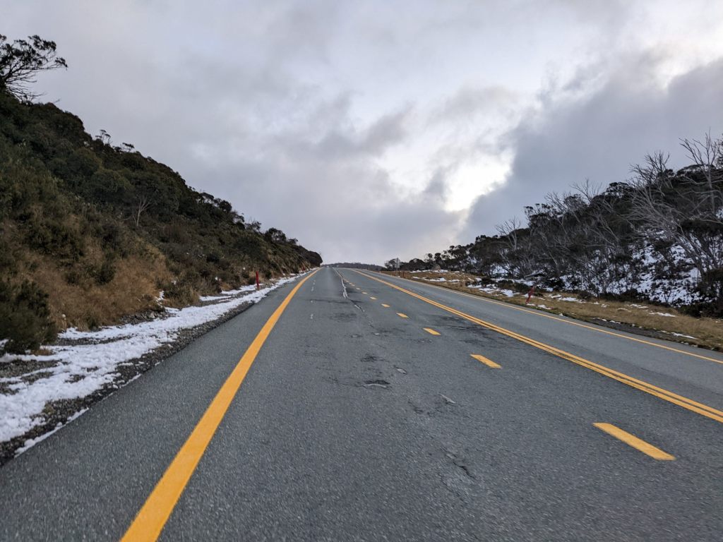
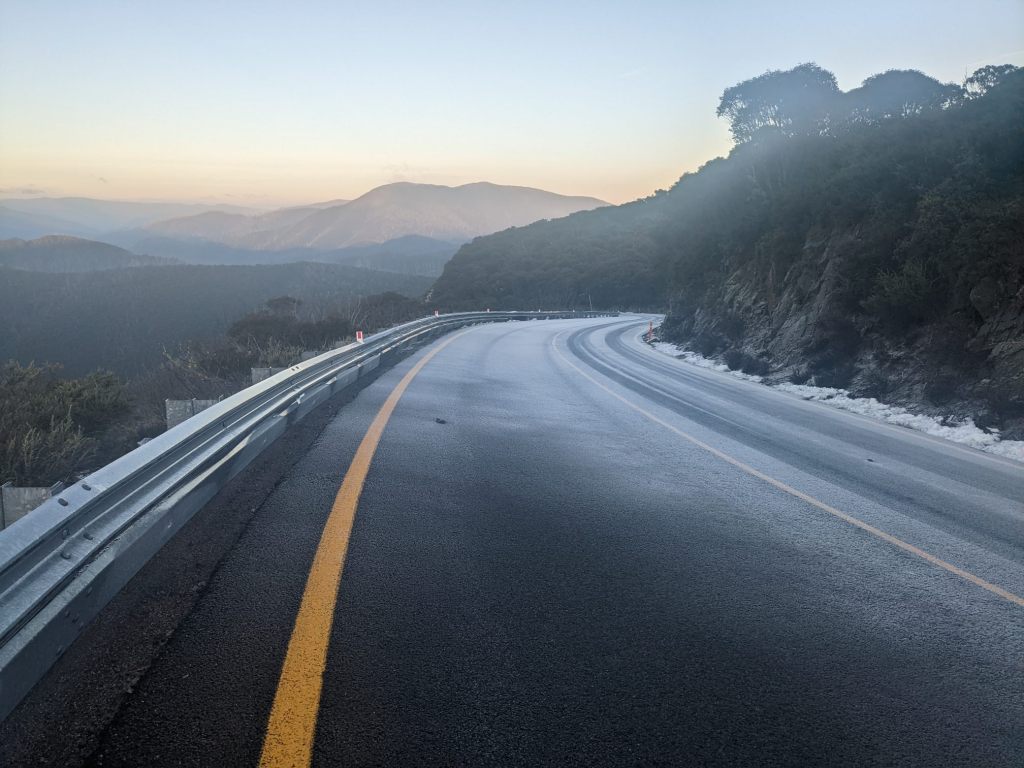
I set off in the morning still wearing all my clothes, which was what I’d slept in. There was a short dip and then I began an ascent, and soon warmed up and began removing layers. I passed a couple of villages (basically ski resorts) and the road levelled out a little.
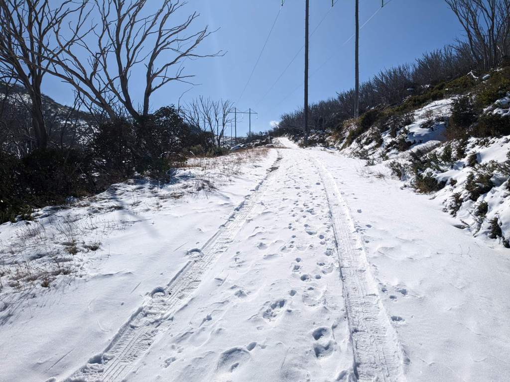
When the road began to climb again it was coated in snow and I rode slowly, though thankfully it wasn’t slippery.

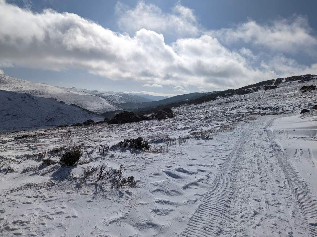
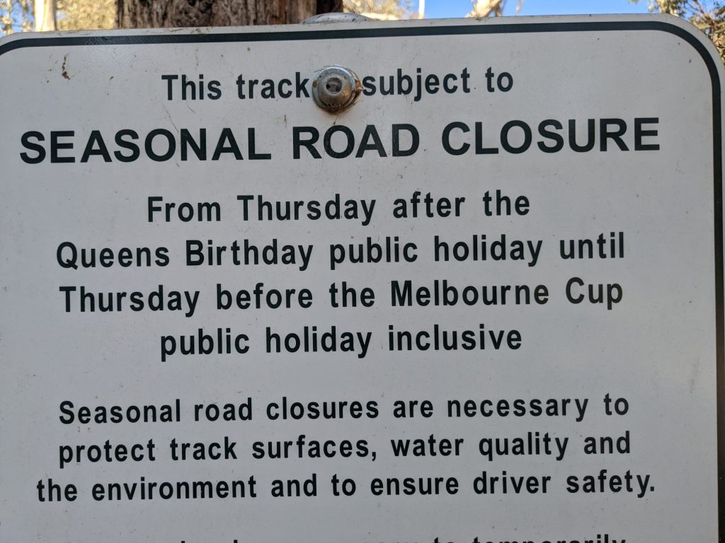
The road came to an end at Charlotte’s Pass. From there there’s a gravel trail (which is normally ridable) for 8km, to Rowson Pass, and then a walk to the summit of a couple kilometres. However, there was a sign stating that this summit walk was closed today as they were conducting maintenance work with helicopters.
The gravel trail was covered in snow. I rode along it for a bit but the snow got deep enough that it wasn’t really possible to ride. I considered what to do. If the gravel trail had been ridable but the summit walk closed, I’d have continued. If I’d had to walk the whole way, but the summit was accessible, I’d have continued. But I didn’t really want to walk 16 kilometres and still not reach the summit.

I walked a few hundred metres to see the landscape, then turned around and headed back the way I’d came.

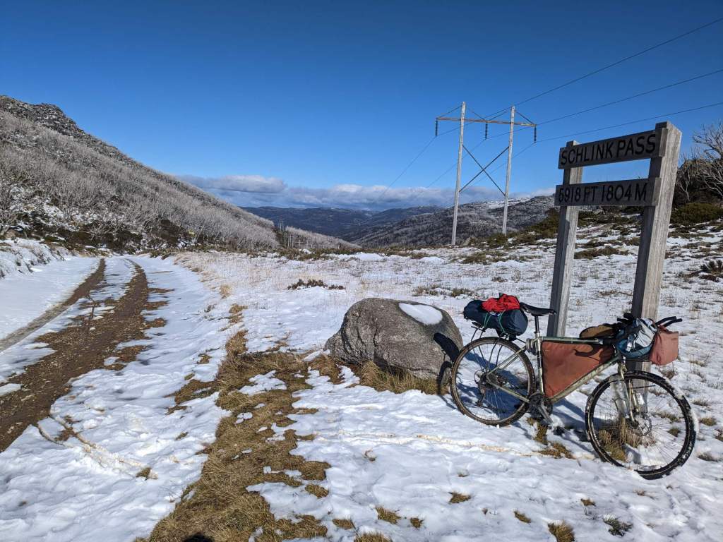
After backtracking 10km or so I turned off onto a dirt side road, leading over to the next valley. It brought me down to a power station, where a steep track led back up.

The first section was very steep, but ridable, and after that it got easier. As I climbed higher there started to be more snow on the track. Initially it was just on shady sections but by the time I reached the pass I had to push a fair bit of the way as my wheel lost traction on the snow.
Past the pass I rode along a plateau for a little while. I passed a parked car which had made the tracks I’d seen in the snow. Past that there were no tracks; I was the only one who’d been there in the last few days.
At the far side of the plateau the track was joined by the Hunt 1000 bikepacking route, which goes from Canberra to Melbourne. I planned to follow it for the next 700km. I began to descend down into a valley.
After an initial descent the road began to follow the course of a river, climbing and descending steeply on the valley’s side. I saw a few deer along the road.
One of these, I ended up following for a long time. It’d see me, and begin to run away. A few hundred metres later, I’d catch up, and it’d run away. There was a steep drop down to the river on my left and a steep cliff on my right, so there wasn’t much room for her to go.

This went on for over an hour. Eventually I began to get closer to her before she ran off. I’m not sure if she was tired, or less able to sense my presence due to a headwind that had picked up. On a descent, I managed to come close to catching her up, and she bolted up the slope to the right, and I was relieved to finally pass her.
As the sun set, the road began a sustained descent. I rode until it was too dark to continue, then set up camp right next to the road – there was nowhere else I could go. I’d dropped down to an elevation of about 1000m and hoped for a slightly warmer night.

I started riding shortly after sunrise, continuing the descent along the gravel track. On the way down I passed a couple vehicles on the way up, seemingly there for road maintenance. After a few kilometres I reached a tarmac road and, a couple kilometres after that, the descent bottomed out at a river where I stopped to fill my water bottles.

Continuing along the paved road, I climbed back up about 400 metres then descended again. At an elevation of about 600 metres I left the road and shortly came to a river crossing.

I’d been a bit concerned about this river crossing. If I couldn’t cross here, it’d mean a detour of about 160km. I removed my socks and legwarmers – wanting to minimize the amount of stuff that got wet – and set off into the river. I left the bike behind at first, wanting to get a feel of the river.
By the time I’d gone a couple of metres in to the water, it was already deeper than my knee. Thankfully, this turned out to be the deepest section and most of the ford was only knee deep. There was a significant current, which I had to brace against. The rocky riverbed was relatively easy to get purchase on with my feet. I’d been worried about the temperature but although it was cold, it wasn’t debilitatingly so.
I went back over and removed my bags from my bike. I put my electronics in a backpack and crossed, carrying the bike – the current was too strong for me to able to push it. I then returned for another trip carrying my bags.
I was glad to have successfully made the crossing. A sign stated that the road was closed seasonally but this was defined in such an arcane way I had no idea if it was currently closed.
Past the river the track soon began to climb, eventually going up to an altitude of about 1450m. The first few hundred metres of elevation gain were steep, and I had to push a lot of the way.

It was remarkable the difference being in the sun made. As I pushed the bike up, I was overheating and dripping sweat. I stopped and sat in the shade and was shivering within minutes – it was only about 5°C, to be fair.
Nearer the top the track improved to become a decent gravel road, and lacked the steepness of the earlier sections. I rode across a plateau and, as the sun began to set, cycled along a series of climbs and descents at the plateau’s far edge. At last the descent began and I dropped down to about 900m before setting up camp.
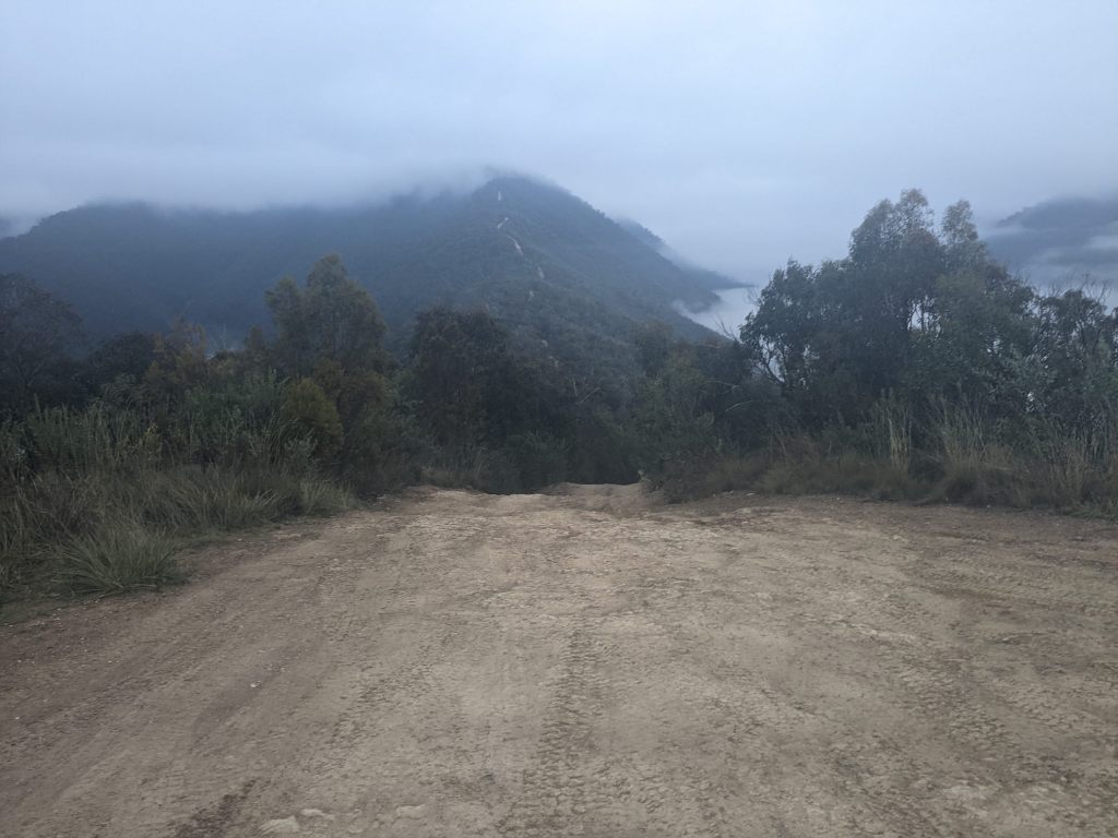
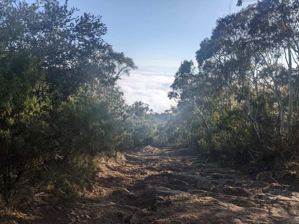
The following dawn I rose to find the land covered in fog. I set off cycling nonetheless and after an hour or so crested a small hill. The fog burned away and I joined a paved road, cycling for a while through relatively flat farmland.

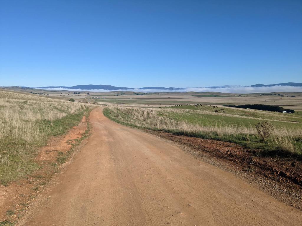
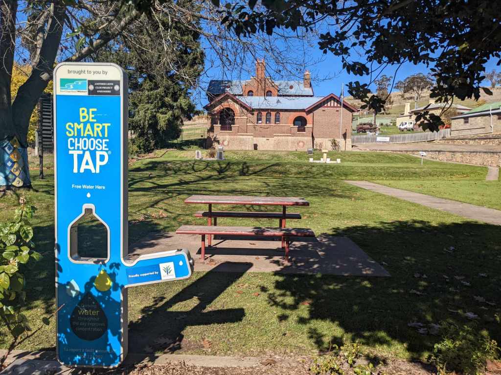
The flat didn’t last long, and a climb followed by a descent led me into the village of Omeo, where I stopped at the small supermarket and filled up on water at the public park.
Past Omeo, the road climbed steeply from about 700m to 1200m. From there the climb became gradual and inconsistent, with a general upward trend for the rest of the day.
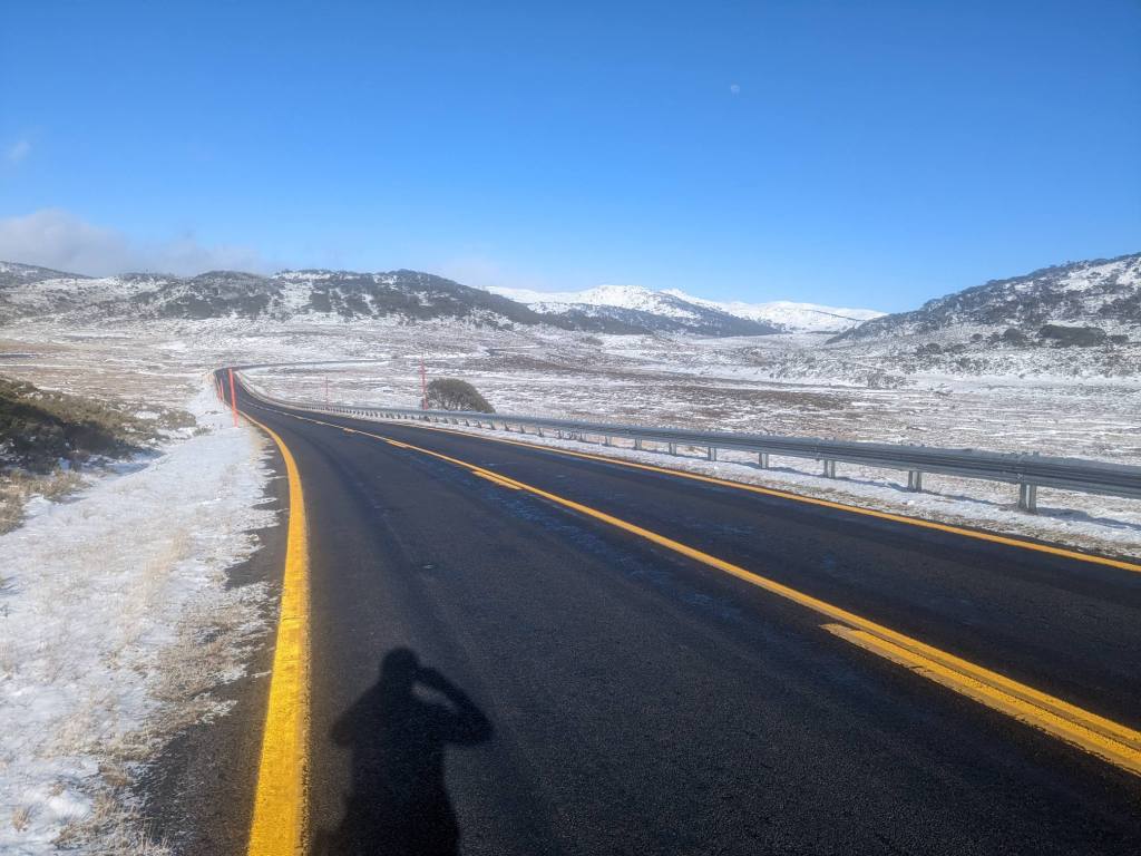
As I rose higher, I again began to see snow beside the road. I passed through a ski resort village, Hotham Heights, before passing just below the mountain’s peak, at an elevation of over 1800m. The sun was setting as I reached the summit.

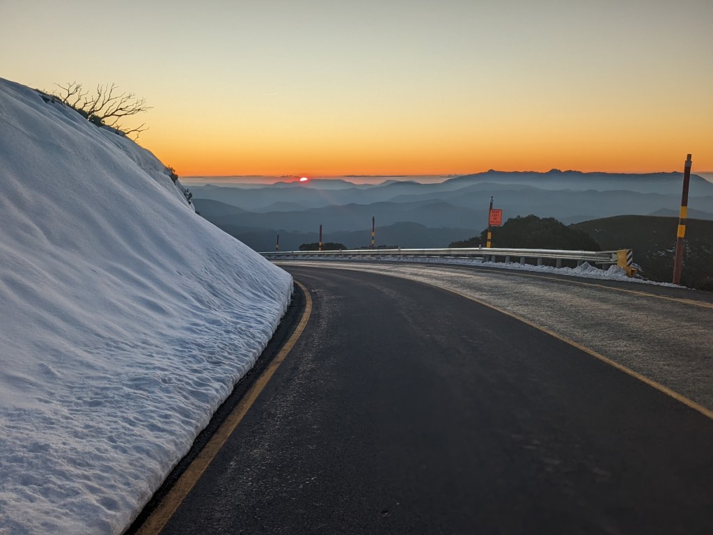
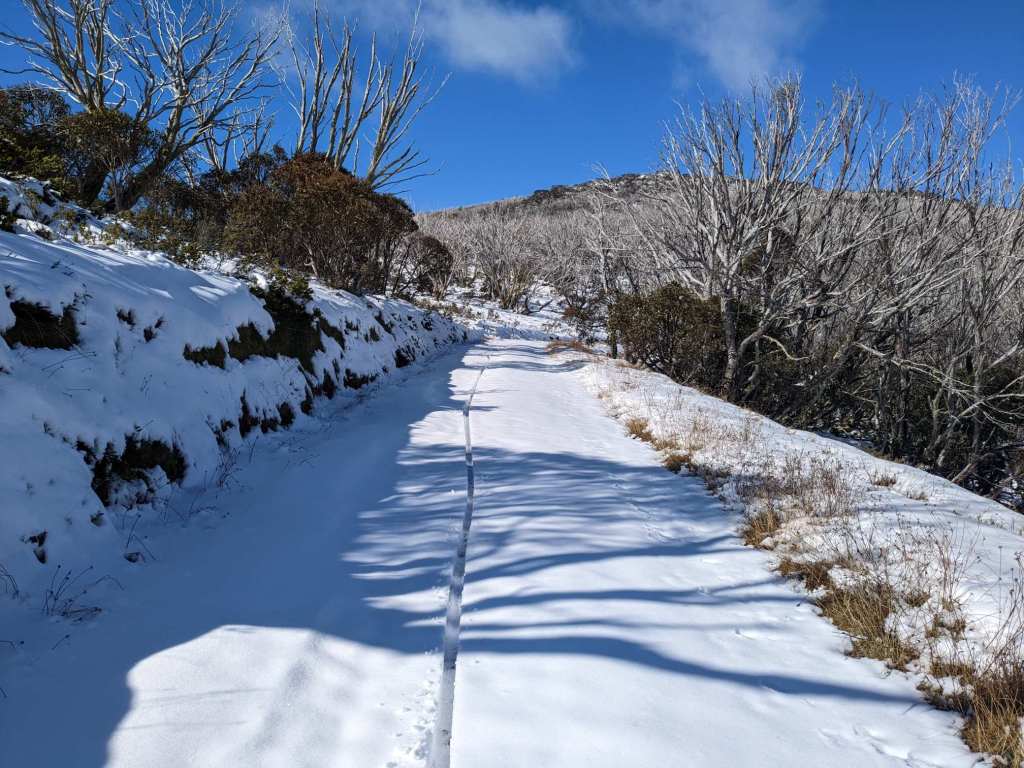
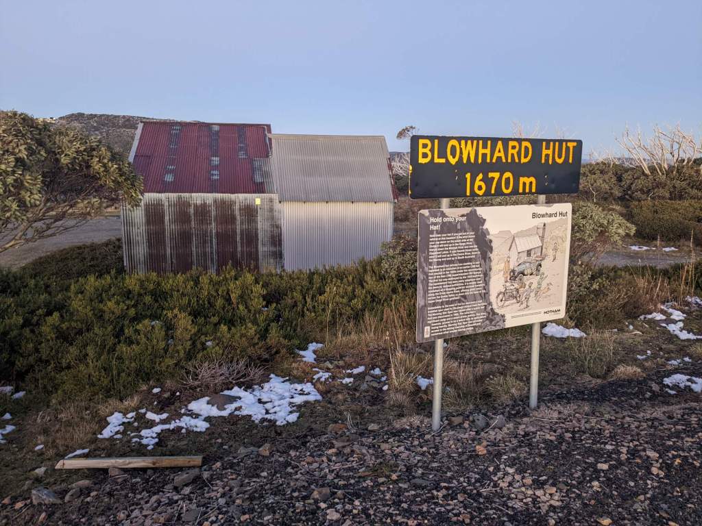
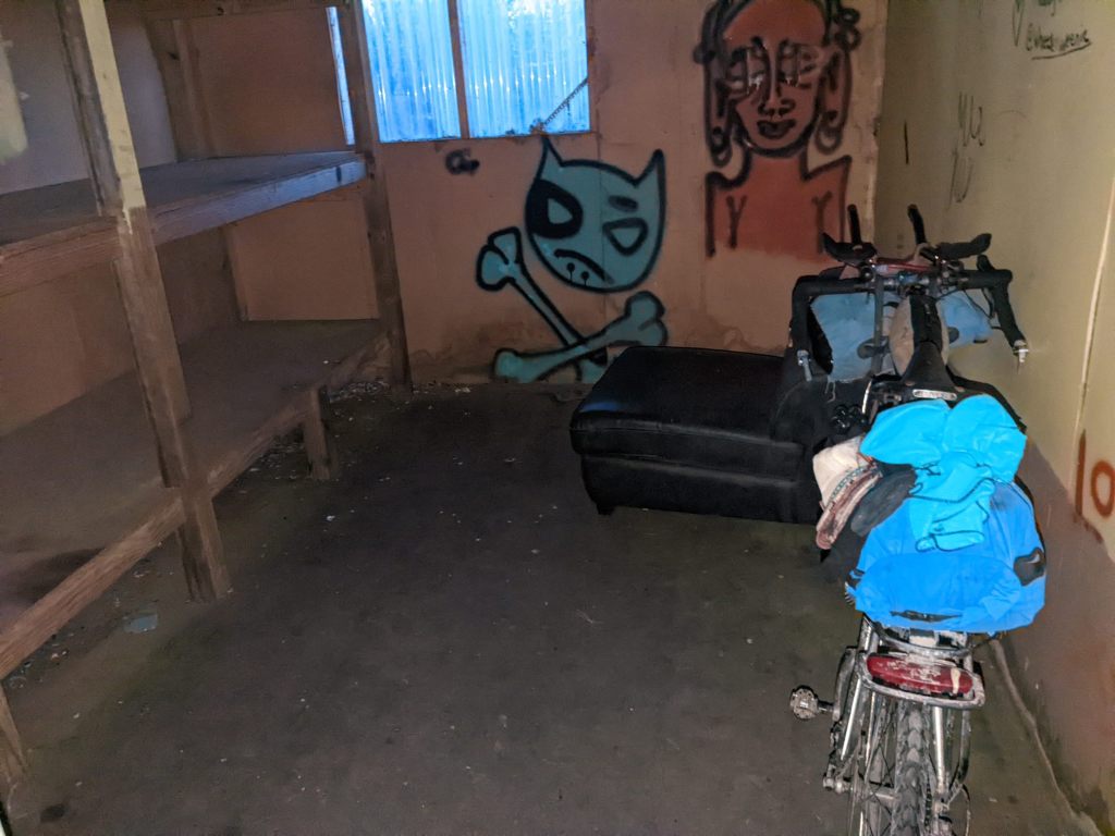
I descended briefly before reaching an alpine hut. These are free to use and I made my way inside. It made a big difference in terms of comfort; it felt warmer than previous nights despite being the coldest yet, as evidenced by the fresh ice on the road in the morning.
I walked the bike for the icy stretch pictured above. It was strange to be pushing the bike downhill on tarmac! But I think it was the right thing to do; even a little pressure on the brakes had the wheels sliding around.
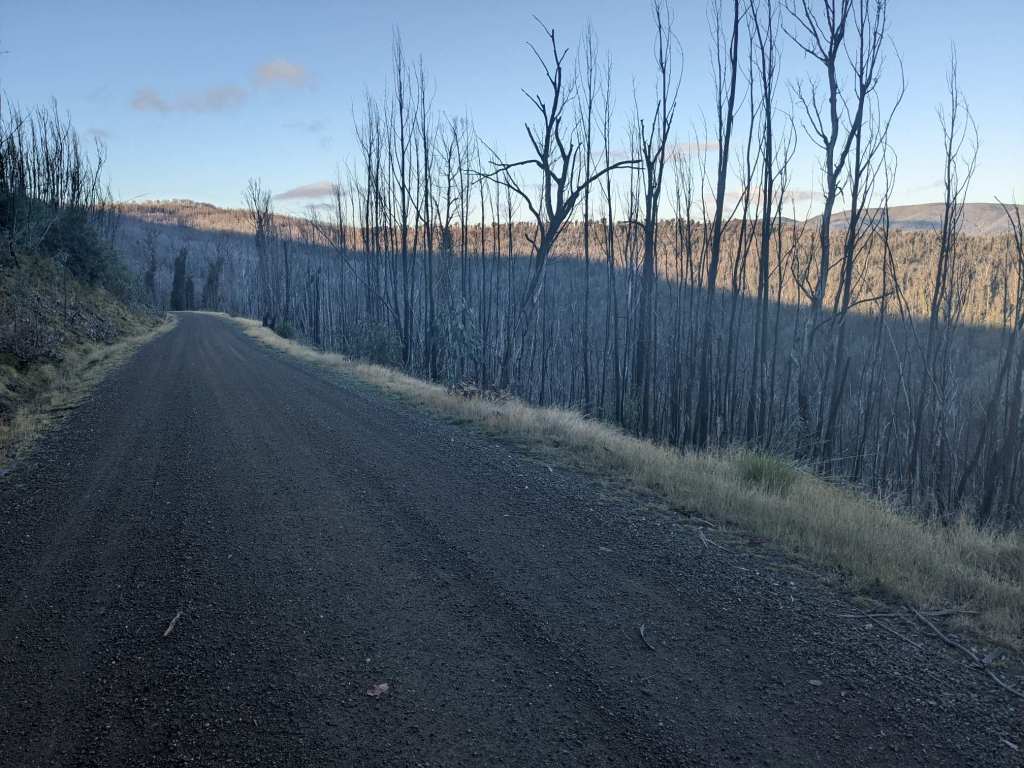
After a little while I turned off the main road onto the Dargo High Plains Road. Initially this dirt track followed a ridge, with steep forested drops to either side.

Eventually it reached the high plains for which it was named, though it wasn’t long before the forest resumed.

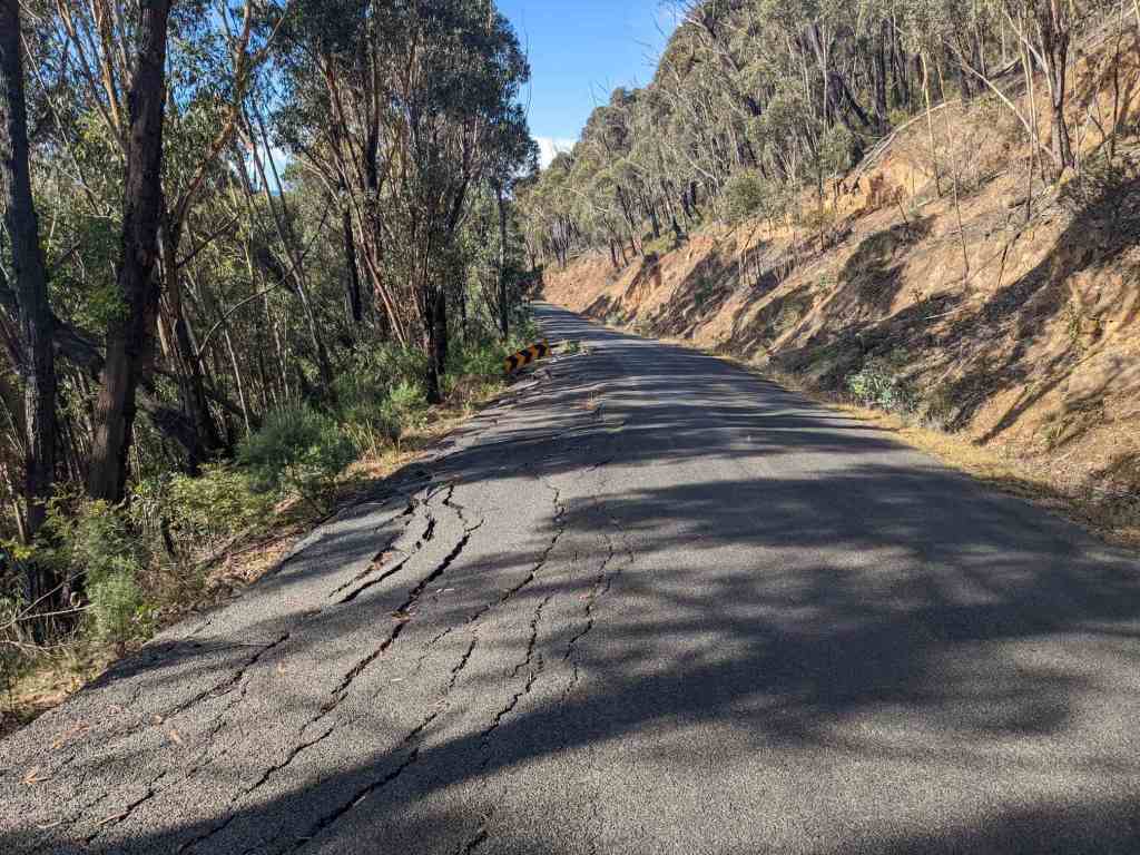
Just before a long descent began, the road became paved. I descended swiftly, though I still had to be cautious as the road was narrow and, in places, collapsing off the cliff.
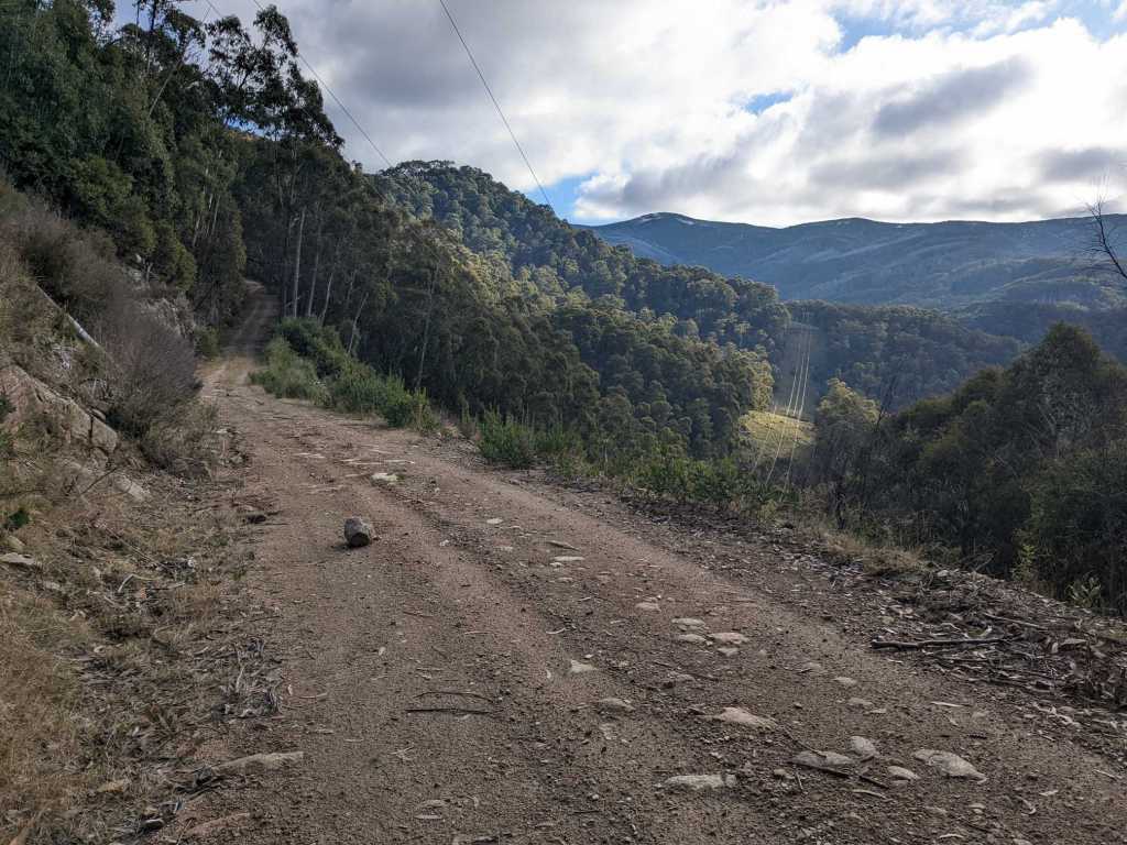
Shortly after it bottomed out I rolled into the village of Dargo and stopped at the village store for some chips. Soon I was on my way again and back onto a dirt road, following a river upstream.

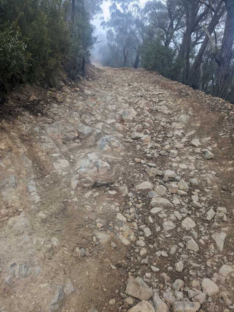
Toward the end of the day I stocked up on water from the river, and started to make my way away from it, following the Billy Goat Bluff Track. This is a very steep track, going up 1200m over the course of about 7km. Apart from the steepness, the surface is generally terrible so it’s mostly hike-a-bike. I made my way up the first 200m or so then set up camp next to the track.

The next morning I started an hour or so before dawn. Initially it continued to be very steep but then there were a few ridable sections. By sunrise I’d finished the first part of the climb and could see, after a dip, the second part rising up to the clouds.
This second climb was steeper, gaining more than 600 metres of elevation in 3 kilometres. I was sweating profusely, pushing a short distance at a time before resting briefly to let my heart rate drop a little.

After a few hours of steep pushing I eventually reached the summit. The other side was steep and muddy so I ended up pushing for a while there before the track joined a dirt road and became ridable again.

After a few more hours on this undulating dirt road through the mountains came a steep descent. The road was relatively rough so I couldn’t go very fast, which is always disappointing after a difficult climb up.
The road dropped down over a thousand metres to a river, after which it was paved. I cycled on for another hour or so to the village of Licola, arriving at around sunset. I checked into a campsite. I’d arrived just after the closing time of their shop which, fortunately for me, meant that hot food was being sold at half price.

May 8: 82 km
May 9: 85 km
May 10: 84 km
May 11: 113 km
May 12: 110 km
May 13: 94 km

I had no idea there was snow and skiing in Australia!
LikeLike
It’s not exactly the stereotypical image we have of Australia!
LikeLike
Wow Sam you have true GRIT !
LikeLike
Haha, thanks Lynda! It was a fun route
LikeLike