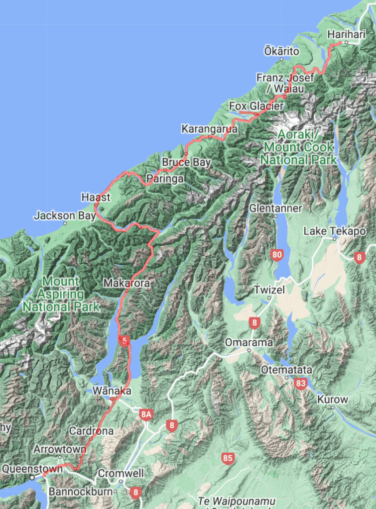
The flight went smoothly, and I arrived with my bike in Queenstown in the late morning. My bike was inspected due to New Zealand’s biosecurity laws, but was allowed through. The sniffer dog was interested in my backpack, which was searched, and they were satisfied he was just smelling the food I’d previously carried. I set up my bike outside the airport and rode off.
The weather was the first major difference. Australia had been generally cloudy for my last couple of weeks but here the sun was out. Nonetheless it was significantly colder. Queenstown sits slightly below 400 metres above sea level but even so, during the hottest part of the day there was ice in the shade.

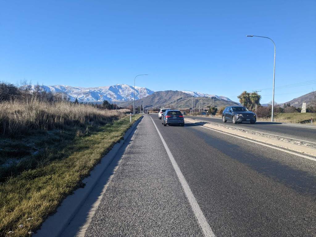
New Zealand is not highly populated and despite being one of the country’s largest towns, Queenstown only has a population of about 15,000. After I’d stocked up at a supermarket I was soon out into the countryside.
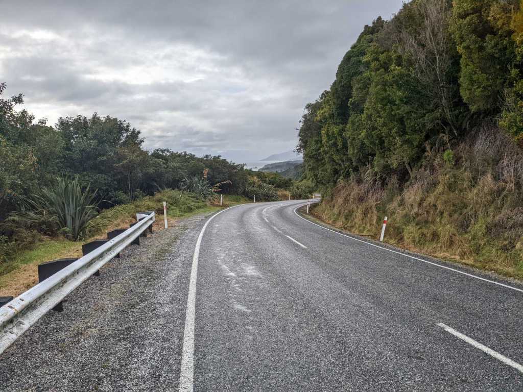
New Zealand has few people but proportionately few roads, so the road out of Queenstown was pretty busy. After a while I turned off from the main road along the valley, and began making my way up a series of steep switchbacks.


Past the switchbacks the road continued to ascend, though at a less consistent gradient. As I climbed higher the ground was covered in snow, though the road was well gritted.
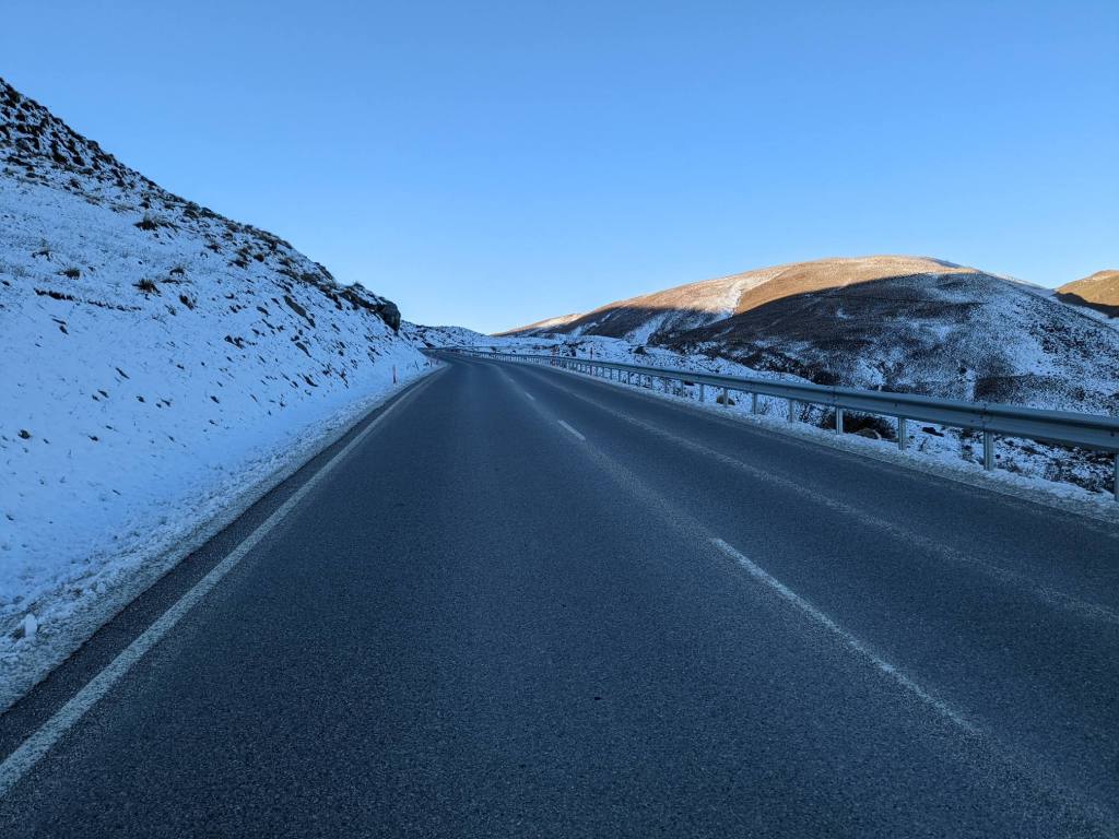
After the Crown Range Pass, about 1100m up, I began descending. I was colder than I’d been in some time. The temperature was below freezing even before considering the wind-chill that results from riding fast down a steep mountainside. I stopped to put on several extra items of clothing

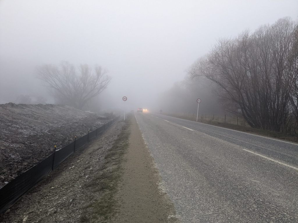
As the road levelled back out I rode through a very dense fog that at times dropped my visibility significantly. I stopped to put on a high-vis coat, and a passing driver stopped to check I was alright. After assuring him I was fine, I rode a little while further before finding somewhere to camp.
It was a cold night. A layer of ice formed on the inside of the tent from my breath freezing. It was cold in the morning, too – the drink I’d taken inside the tent froze in the first half hour of cycling.
I stopped at a supermarket in the town of Wanaka and bought 2-3 days worth of food. There were a couple of environmental things I noticed: paper rather than plastic bags were provided for fruit, and there were refill stations for things like handwash, shower gel and shampoo. I’ve not seen those before.
I also went to a pharmacy to get some contact lens solution, then rode on. As I left the town behind traffic got noticeably quieter. It also grew warmer as I reached Lake Hawea and rode alongside that for a time.
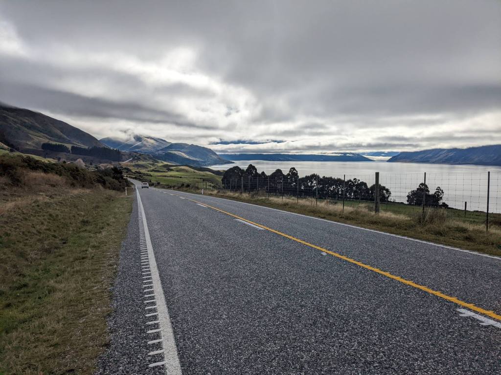
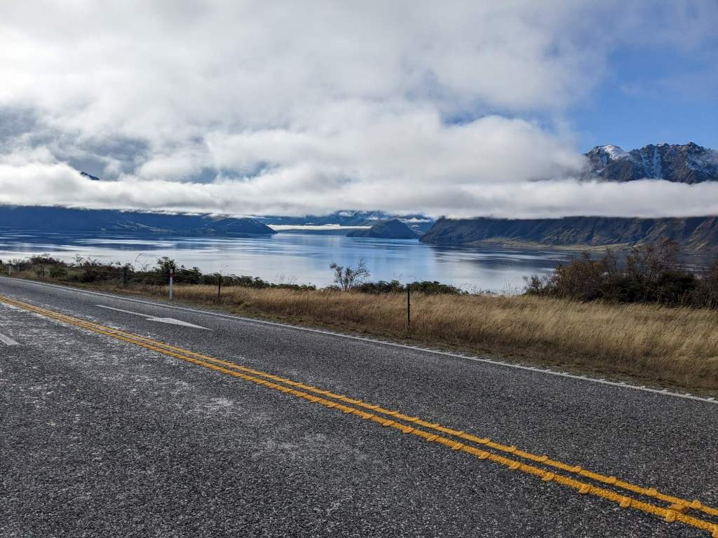
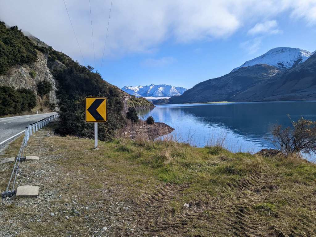
The lake had a narrow protrusion into the hills to the west, and the road crossed the hills there. It was only a couple of kilometres before I reached another lake, and rode alongside that too.


Past this lake I rode up a green valley. The sun had come out and by this point it wasn’t too cold.

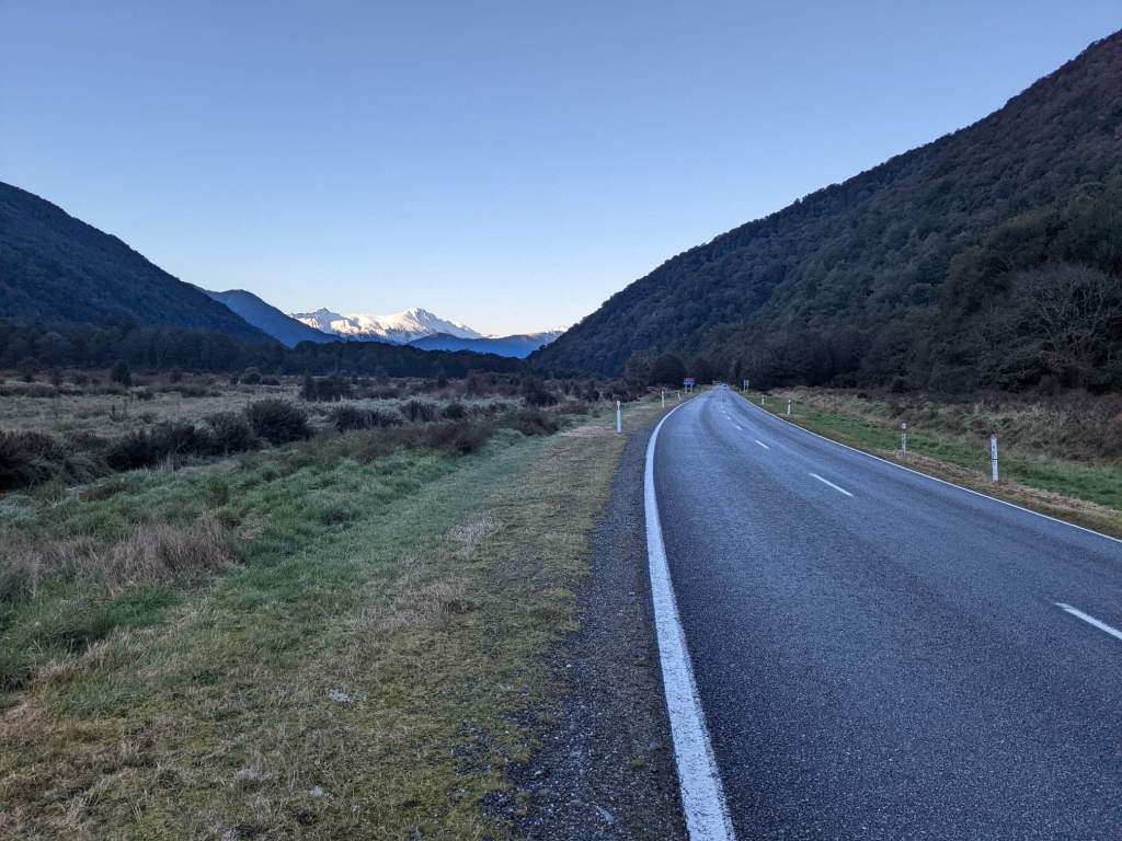
The valley narrowed and grassland gave way to forest. The road grew steeper for the final couple kilometres up to Haast Pass.

The valley on the far side was significantly colder, presumably due to being further from the lake. The elevation was only about 500m, but the ground was blanketed in white, and water trickling down the cliff to my left produced a pretty formation of icicles.


The river began to flow more swiftly downhill, and the road followed. I took the descent slowly as there were a few patches of ice, even after it levelled out at around 100m.


I followed the river along a wide valley for a little while, until sunset. There was a large flat space next to the road, which had seemingly been used for construction crew when this road was made. I headed over there and set up camp. Some of the ice that was on the tent when I packed away in the morning still hadn’t thawed.

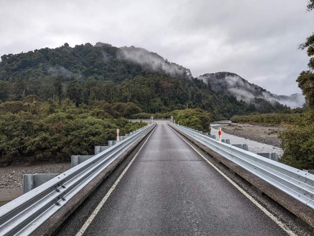
It was slightly less cold that night, but it began to rain in the morning, as I packed up the tent. I set off cycling in the rain, continuing to follow the Haast river downstream.
The valley opened up and I rode through flat farmland for a time. I passed the village of Haast, where I stopped to shelter from the rain at a petrol station. I checked the forecast: rain for the whole day. I also found that there was a hostel at the 150km mark and made that my goal for the day; camping while cold and wet is not appealing.
Past Haast the road crossed the river and headed north, along a coastal plain. Just before the plain gave way to hills there was a rest area with some shelter, and a view of the beach.

There was a brief respite from the rain as I made my way up and down a series of steep hills.
After a time the rain returned, and the hills turned into gentler undulations for the rest of the day.
Due to a combination of the fact it was raining, and that I was right on the edge of being able to make it to a hostel before dark, I ended up riding for about 6 hours without a break. I reached the village of Fox Glacier about half an hour after sunset, just as darkness was setting in. I was cold, wet, tired, hungry and very glad for a hot shower. It was the low season so I was the only one in my dorm room, meaning I effectively got a private room for £15.
As I was about to set off the following morning, I realized my rear tyre was flat. I found two holes in the inner tube and two corresponding pieces of metal wire in the tyre. I removed the wire and put in a spare tube, planning on patching the old one in the evening.
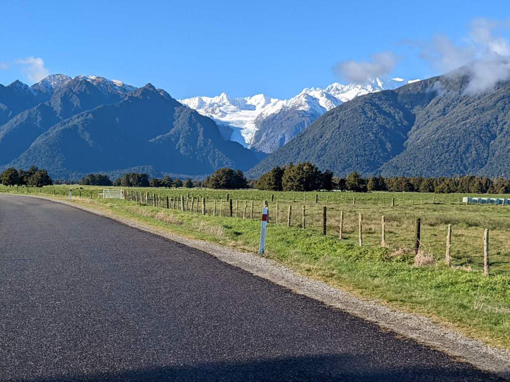
I first rode on a detour to a viewpoint of Fox Glacier. The guy running the hostel had suggested that rather than going up close to the glacier I should instead ride away, as I would be able to see a wider view from that vantage. So that’s what I did.
I returned to the village and then set off through a particularly vertical stretch of road: up 300m, back down, up 200m, back down and then up 100m again.

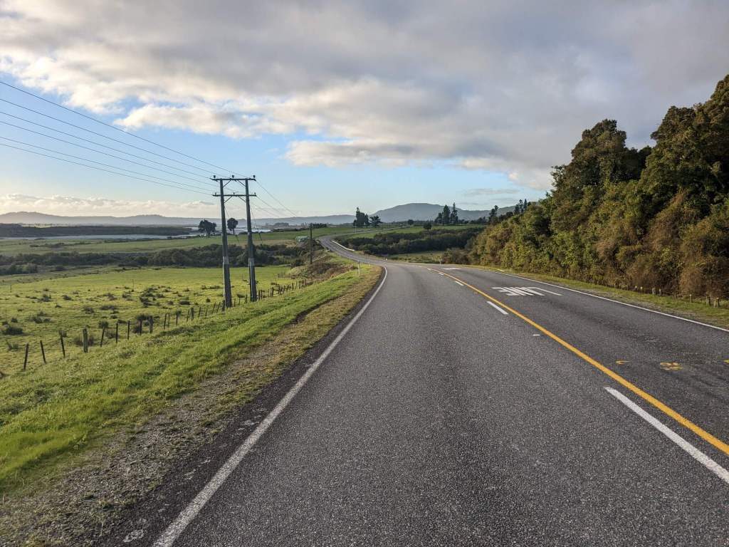
After that the cycling was easier, often flat, as I rode past lakes and across wide valleys.


In the evening there was one last hill to cross. After the descent I soon reached some woodland and managed to make my way in. There was dense undergrowth so it was a bit of a challenge finding enough space to pitch my tent.

June 9: 47 km
June 10: 132 km
June 11: 152 km
June 12: 101 km

This seems like a very cold and calm ride. The pictures you took are stunning too!
LikeLike
Thanks Feth!
LikeLike
What a beautiful landscape Sam – you’ve captured it well in your amazing photos. Do you think that Foxes glacier mints were named after Fox Glacier, or the other way round?
LikeLike
Haha, I’d not noticed that connection! Sadly I can find no relationship between the two; one was named after the British owner of a confectionery company, the other after a New Zealand prime minister. I’ll leave it to you to guess which is which!
Sam
LikeLike